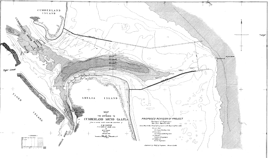
Description: A map of proposed revisions of the project to improve the entrance to the Cumberland Sound between Florida and Georgia. The original plan called for the construction of jetties to improve the waterway. This map shows the proposed extensions of these jetties. The map shows high water lines and soundings, marker buoys, survey station data, Reed's Mill, and Fort Clinch.
Place Names: Nassau, Amelia Island, Fort Clinch, Amelia River, Tiger Island, Tiger Creek, Cumberland Sound, Cumberland Island
ISO Topic Categories: boundaries, inlandWaters, transportation
Keywords: Map of the Entrance to Cumberland Sound, physical, transportation, hydrological, physical features, water routes, water depths, boundaries, inlandWaters, transportation, Unknown,1891
Source: O. M. Carter, Annual Report of the Secretary of War (Washington, DC: Government Printing Office, 1891)
Map Credit: Courtesy the private collection of Roy Winkelman |
|
