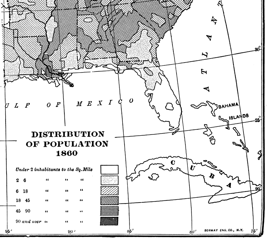
Description: A map of the population distribution in Florida for 1860. The range of population density is from under 2 inhabitants per square mile in the southern peninsular region to 18 – 45 inhabitants per square mile in the Tallahassee area.
Place Names: 1860-1879,
ISO Topic Categories: boundaries, inlandWaters, oceans, society
Keywords: Distribution of Population, physical, political, statistical, physical features, major political subdivisions, population, boundaries, inlandWaters, oceans, society, Unknown,1860
Source: Dixon Ryan Fox, Harper's Atlas of American History (New York, NY: Harper and Brothers, 1920) 56
Map Credit: Courtesy the private collection of Roy Winkelman. |
|