|
|
|
| FL Maps > State > 1860-1879 |
|
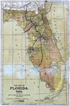
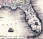
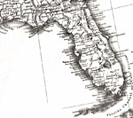
New map of Florida,
1860 |
|
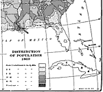
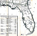
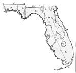
Distribution of Population,
1860 |
|
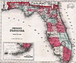
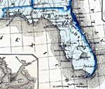
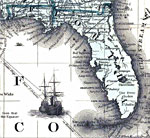
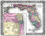
Johnson's Florida,
1860 |
|
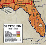
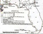
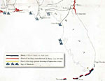
Detail - Secession,
1860 to 1861 |
|
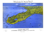
Panorama of the seat of war of Florida and part of Georgia and Alabama,
1861 |
|
Detail - Colton's United States shewing the military stations, forts &c,
1861 |
|
Detail - Military map of the United States & territories...,
1861 |
|
Detail - Wyld's military map of the United States...,
1861 |
|
Detail - Historical sketch of the war for the Union...,
1861 to 1865 |
|
Detail - Colton's rail-road and military map of the United States, Mexico, the West Indies,
1862 |
|
Detail - The historical war map,
1862 |
|
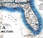
Detail - Bacon's steel plate map of America, political, historical & military,
1863 |
|
Detail - Historical sketch of the rebellion,
1863 |
|
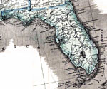
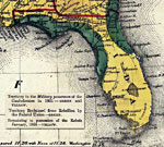
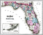
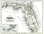
Map of Florida,
1864 |
|
Asher & Adams' Florida,
1871 |
|
Asher & Adams Florida,
1871 |
|
Drawing of Florida,
1872 |
|
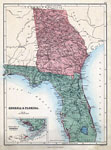
Georgia & Florida,
1873 |
|
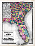
Florida, Georgia and South Carolina,
1873 |
|
Gray's Atlas map of Florida,
1875 |
|
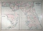
County Map of Florida,
1876 |
|
Detail - Texas and Pacific Railway and its connections,
1876 |
|
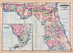
Florida,
1878 |
| FL Maps > State > 1860-1879 |
Maps ETC
is a part of the
Educational Technology Clearinghouse
Produced by the
Florida Center for Instructional Technology
© 2007
College of Education
,
University of South Florida