Puzzle Directions: Click on a puzzle piece and drag it where you want it. When you connect two pieces correctly, they will join together. Mix up the pieces again. View finished map in pop-up window.
Title: Levy County Projection: Unknown Source Bounding Coordinates: W: E: N: S:
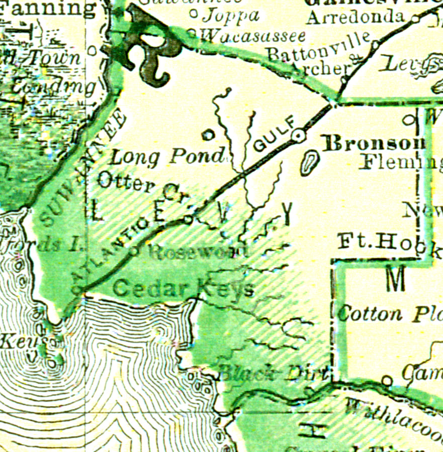
Description: This map of Levy County shows the county seat (Bronson), railroads, and cities current to 1880. Source: , Leslie's New World Atlas (New York, NY: Leslie-Judge Company, 1880) Map Credit: Courtesy the private collection of Roy Winkelman.