mapsExploring Florida
 FL Maps > State > 1880-1899 > Florida, circa 1880
Site Map 

Florida, circa 1880


Puzzle Directions: Click on a puzzle piece and drag it where you want it. When you connect two pieces correctly, they will join together. Mix up the pieces again. View finished map in pop-up window.

Title: Florida
Projection: Unknown
Source Bounding Coordinates:
W: E: N: S:

Back to Map Page
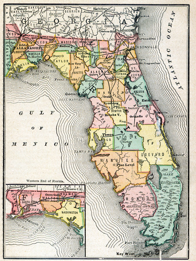
Description: A map of Florida showing county lines, the state capital, county seats, railroads, and cities current to the 1880s. Includes an inset map of the Northwestern portion (Panhandle) of the state.
Source: , (, : , 1880) 52
Map Credit: Courtesy the private collection of Roy Winkelman.
SearchLicensePDF HelpGIS Help Google Earth Help Zoomify Help

 FL Maps > State > 1880-1899 > Florida, circa 1880