Puzzle Directions: Click on a puzzle piece and drag it where you want it. When you connect two pieces correctly, they will join together. Mix up the pieces again. View finished map in pop-up window.
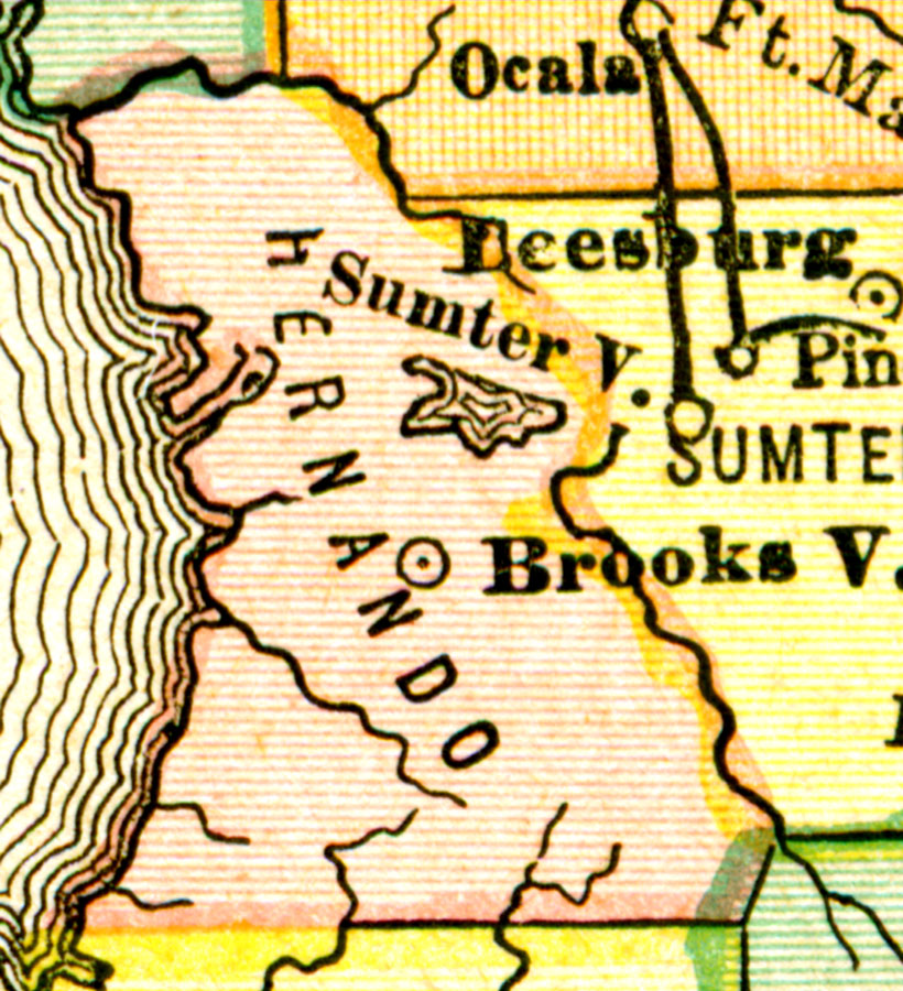
Description: A map of Hernando County showing county lines, the county seat (Brooksville), and cities current to the 1880s. Source: , (, : , 1880) 52 Map Credit: Courtesy the private collection of Roy Winkelman.