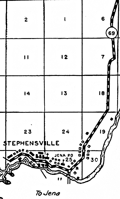
Description: This is a detailed map of the city Stephensville in Taylor County, Florida. Section Township Range (STR) is shown. This map shows state roads, inland water, a church, the Jena post office, businesses, business dwellings, a school, farm units and dwellings other than farms. Key to Florida Highway maps.
Place Names: Taylor, Stephensville, Steinhatchee River
ISO Topic Categories: boundaries, location, transportation, inlandWaters
Keywords: Stephensville, physical, political, transportation, physical features, major political subdivisions, local jurisdictions, roads, boundaries, location, transportation, inlandWaters, Lambert_Conformal_Conic, 1936
Source: , Florida State Road Department (Tallahassee, FL: FDOT, 1936)
Map Credit: Courtesy the private collection of Roy Winkelman. |
|