mapsExploring Florida
 FL Maps > State > 1900-1919 > Florida, 1918
Site Map 

Florida, 1918


Puzzle Directions: Click on a puzzle piece and drag it where you want it. When you connect two pieces correctly, they will join together. Mix up the pieces again. View finished map in pop-up window.

Title: Florida
Projection: Unknown
Source Bounding Coordinates:
W: -88 E: -80 N: 31 S: 24

Back to Map Page
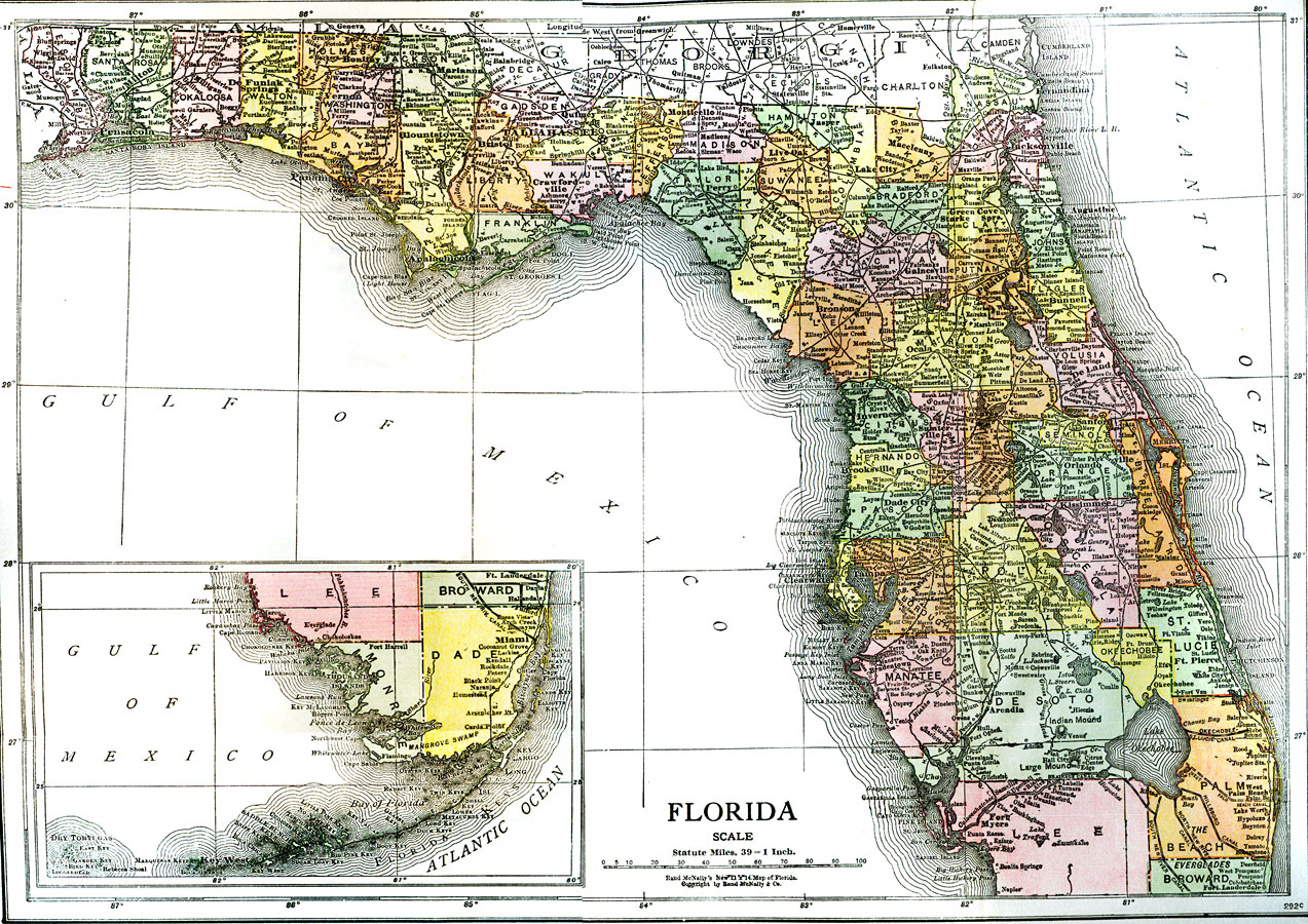
Description: A map of Florida showing major cities and county seats, waterways, and railroad lines current to 1918. Okeechobee/Everglades drainage canals are shown including the proposed West Palm Beach canal. Map scale is 1 inch equals 39 statute miles.
Source: Nevin O. Winter, Florida, Land of Enchantment (Boston, MA: The Page Company, 1918) 2
Map Credit: Courtesy the University of South Florida Library
SearchLicensePDF HelpGIS Help Google Earth Help Zoomify Help

 FL Maps > State > 1900-1919 > Florida, 1918