Title: Florida, Everglades Drainage
Projection: Unknown
Source Bounding Coordinates:
W: -84 E: -80 N: 27.5 S: 24 |
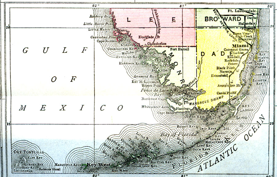
| | Description: A map of southern peninsular Florida showing the Okeechobee/Everglades drainage canals current to 1918 and including the proposed West Palm Beach canal. Map scale is 1 inch equals 39 statute miles.
Source: Nevin O. Winter, Florida, Land of Enchantment (Boston, MA: The Page Company, 1918) 2
Map Credit: Courtesy the University of South Florida Library |
| |
|