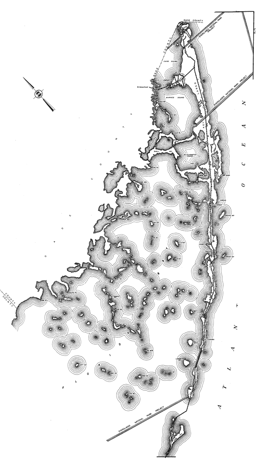
Description: This is a detailed map of the second portion of the county of Monroe in the state of Florida. Section Township Range (STR) is shown. This map shows all of the main keys and cities, state roads, bridge highways, hotels, businesses, citrus packinghouses, post office, school, farm units and dwellings other than farms. Key to Florida Highway maps.
Place Names: Monroe, Atlantic Ocean, Card Sound, Barnes Sound, Mud Point, Comorant Pt, Middle Key, Main Key, Division Pt, Cross Key, Bay Pt, Blackwater Sound, Key Largo, Shell Key, Long Sound, Largo Sound, Tarpon Basin, Whaleback Key, Deer Key, Snipe Pt, Lower Sound, Park Key, Butternut Key, Pidgeon Key, Hammer Pt, Bottle Key, Bob Key, Lake Key, Eagle Key, Pt Charles, Rock Harbor, Rodriguez Key, Dove Key, Tavernier Key, Plantation Key, East Key, Low Key, Mud Keys, McGinty Key, Upper Matecumbe Key, Islamorado, Shell Key, Lignumvitae Key, Bowlegs Key, Lower Matecumbe Key, Long Key, Barnes Key, Center Key, Rabbit Key, Twin Keys, Corrinne Key, Coon Key, Buttonwood Key, Brush Key, Mosquito Pt, Umbrella Key, Shark Pt, Cluett Key, Tavernier
ISO Topic Categories: boundaries, transportation, location, inlandWaters, oceans
Keywords: Monroe 2, physical, political, transportation, physical features, major political subdivisions, local jurisdictions, roads, boundaries, transportation, location, inlandWaters, oceans, Mercator, 1937
Source: , Florida State Road Department (, FL: , 1937)
Map Credit: Courtesy the private collection of Roy Winkelman. |
|