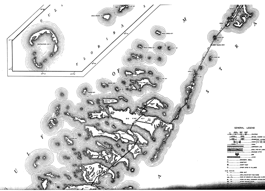
Description: This is a detailed map of the first middle portion of the county of Monroe in the state of Florida. Section Township Range (STR) is shown. This map shows all of the main keys and cities, state roads, bridge highways, businesses, a church, a hotel, a post office, water towers, pumping station, farm units and dwellings other than farms. Key to Florida Highway maps.
Place Names: Monroe, Florida Straits, Gulf of Mexico, Marquesas Keys, Boca Grande Key, E. Bahia Honda Key, W. Bahia Honda Key, Flat Key, Shellfish Key, Little Pine Key, Grassy Key, Johnson Keys, Little Spanish Key, Big Spanish Key, Big Pine Key, Big Pine, Crawl Key, Cerion Key, Duck Key, Howen Key, Noname Key, Annette Key, W. Summerland Keys, Water Keys, Content Keys, Raccoon Key, Knockemdown Key, Ramrod Key, Summerland Key, Sacarma Bay, Gudjoe Key, Pirates Cove, Sugarloaf Key, Johnston Key, Marathon, Knight Key, Pigeon Key, Molasses Key, Cerion Key
ISO Topic Categories: boundaries, transportation, location, inlandWaters, oceans
Keywords: Mid Monroe 1, physical, political, transportation, physical features, major political subdivisions, local jurisdictions, roads, boundaries, transportation, location, inlandWaters, oceans, Mercator, 1937
Source: , Florida State Road Department (, FL: , 1937)
Map Credit: Courtesy the private collection of Roy Winkelman. |
|
