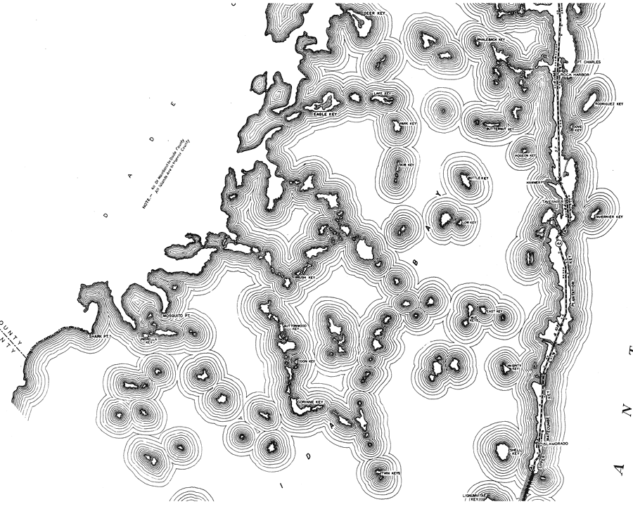
Description: This is a detailed map of the second middle portion of the county of Monroe in the state of Florida. Section Township Range (STR) is shown. This map shows all of the main keys and cities, state roads, bridge highways, businesses, post offices, schools, citrus packinghouse, farm units and dwellings other than farms. Key to Florida Highway maps.
Place Names: Monroe, Atlantic Ocean, Pt Charles, Rock Harbor, Rodriguez Key, Dove Key, Whaleback Key, Butternut Key, Deer Key, Lake Key, Eagle Key, Park Key, Bob Key, Bottle Key, Hammer Pt, Tavernier, Pidgeon Key, Tavernier Key, Low Key, Brush Key, Mosquito Pt, Buttonwood Key, Coon Key, Mud Keys, East Key, McGinty Key, Plantation Key, Upper Matecumbe Key, Islamorado, Shell Key, Corinne Key, Umbrella Key, Shark Pt, Lignumvitae Key
ISO Topic Categories: boundaries, transportation, location, inlandWaters, oceans
Keywords: Mid Monroe 2, physical, political, transportation, physical features, major political subdivisions, local jurisdictions, roads, boundaries, transportation, location, inlandWaters, oceans, Mercator, 1937
Source: , Florida State Road Department (, FL: , 1937)
Map Credit: Courtesy the private collection of Roy Winkelman. |
|