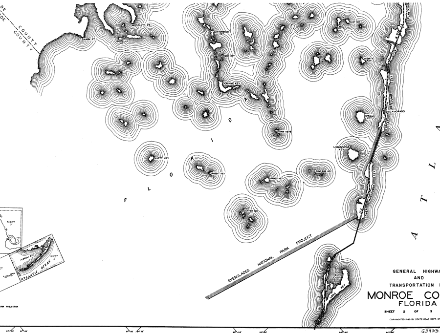
Description: This is a detailed map of the second west portion of the county of Monroe in the state of Florida. Section Township Range (STR) is shown. This map shows all of the main keys and cities, state roads, businesses and dwellings. Key to Florida Highway maps.
Place Names: Monroe, Shark Pt, Umbrella Key, Mosquito Pt, Buttonwood Key, Coon Key, Corinne Key, East Key, Mud Keys, McGinty Key, Upper Matecumbe Key, Islamorado, Shell Key, Lignumvitae Key, Bowlegs Key, Atlantic Ocean, Gulf of Mexico, Lower Matecumbe Key, Long Key, Center Key, Rabbit Key, Barnes Key, Twin Keys, Cluett Key, Florida Straits
ISO Topic Categories: boundaries, transportation, location, inlandWaters, oceans
Keywords: West Monroe 2, physical, political, transportation, physical features, major political subdivisions, local jurisdictions, roads, boundaries, transportation, location, inlandWaters, oceans, Mercator, 1937
Source: , Florida State Road Department (, FL: , 1937)
Map Credit: Courtesy the private collection of Roy Winkelman. |
|