mapsExploring Florida
 FL Maps > State > 1720-1739 > Florida : the north part of the Gulf of Mexico with the adjacent territories belonging to Great Britain and to France, 1736
Site Map 

Florida : the north part of the Gulf of Mexico with the adjacent territories belonging to Great Britain and to France, 1736


Puzzle Directions: Click on a puzzle piece and drag it where you want it. When you connect two pieces correctly, they will join together. Mix up the pieces again. View finished map in pop-up window.

Title: Florida : the north part of the Gulf of Mexico with the adjacent territories belonging to Great Britain and to France.
Projection: Unknown
Source Bounding Coordinates:
W: -109 E: -77 N: 40 S: 22.5

Back to Map Page
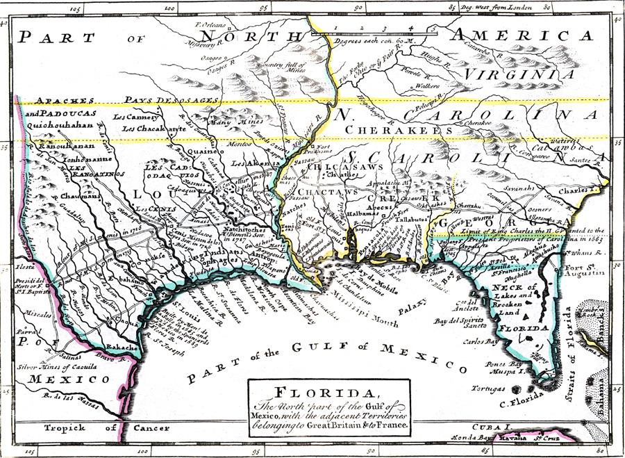
Description: Digitization provided by the USF Libraries Digitization Center. Rare Maps Collection: Notes from USF Library:Hand col. engraved map. Relief shown pictoriallyScale [ca. 1:10,250,000]; (W 109000Õ--W 77000Õ/N 400--Õ--N 22030Õ).Measurements.Dimensions: 19 x 26 cm
Source: Herman Moll, Atlas minor ... [1736]. pl. 54 (London, : Thos. Bowles and John Bowles , 1736)
Map Credit:
SearchLicensePDF HelpGIS Help Google Earth Help Zoomify Help

 FL Maps > State > 1720-1739 > Florida : the north part of the Gulf of Mexico with the adjacent territories belonging to Great Britain and to France, 1736