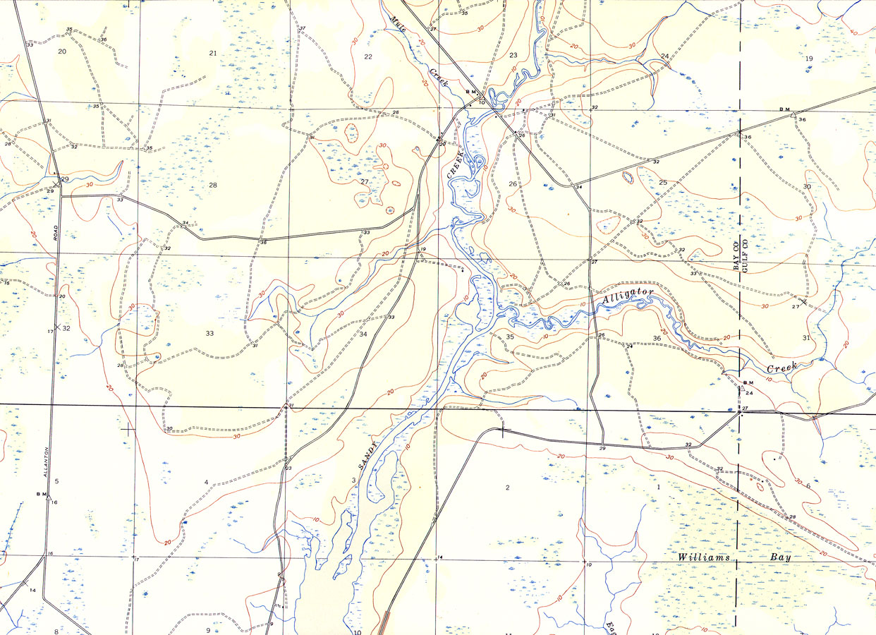
Description: A portion of the Allanton Quadrangle showing details of the area around Sandy Creek, Florida. The map shows man-made structures such as primary and secondary roads, and the locations of survey bench markers. Natural features include rivers and wetlands. Contour lines are shown at 10-foot intervals and show both positive and negative surface features. The map is from the USGS 7 1/2-minute series, with a map scale of 1:31,680. The Township/Range grid based on the Tallahassee baseline and meridian is shown.
Place Names: Bay, Sandy Creek, Alligator Creek, Mule Creek, Williams Bay,
ISO Topic Categories: elevation, inlandWaters, transportation
Keywords: Sandy Creek, Florida, physical, transportation, physical features, topographical, roads, elevation, inlandWaters, transportation, Polyconic, 1945
Source: , Allanton Quadrangle (Washington, DC: United States Department of the Interior Geological Survey, 1945)
Map Credit: Courtesy the private collection of Roy Winkelman |
|