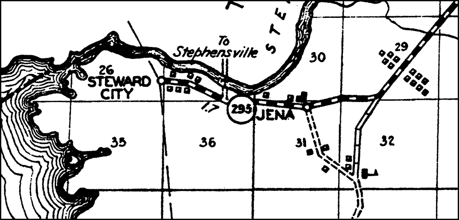
Description: This is a detailed map of the city Jena in Dixie County, Florida. Section Township Range (STR) is shown. This map shows state roads, inland waters, schools, businesses, farm units and dwellings other than farms. Key to Florida Highway maps.
Place Names: Dixie, Jena, Steward City, Steinhatchee River, Gulf of Mexico
ISO Topic Categories: boundaries, location, transportation, inlandWaters, oceans
Keywords: Jena, physical, political, transportation, physical features, major political subdivisions, local jurisdictions, roads, boundaries, location, transportation, inlandWaters, oceans, Unknown,1936
Source: , Florida State Road Department (, FL: , 1936)
Map Credit: Courtesy the private collection of Roy Winkelman. |
|