mapsExploring Florida
 FL Maps > County > Hernando > Hernando County, 1857
Site Map 

Hernando County, 1857


Puzzle Directions: Click on a puzzle piece and drag it where you want it. When you connect two pieces correctly, they will join together. Mix up the pieces again. View finished map in pop-up window.

Title: Hernando County
Projection:
Source Bounding Coordinates:
W: -83 E: -82.2 N: 29 S: 27.7

Back to Map Page
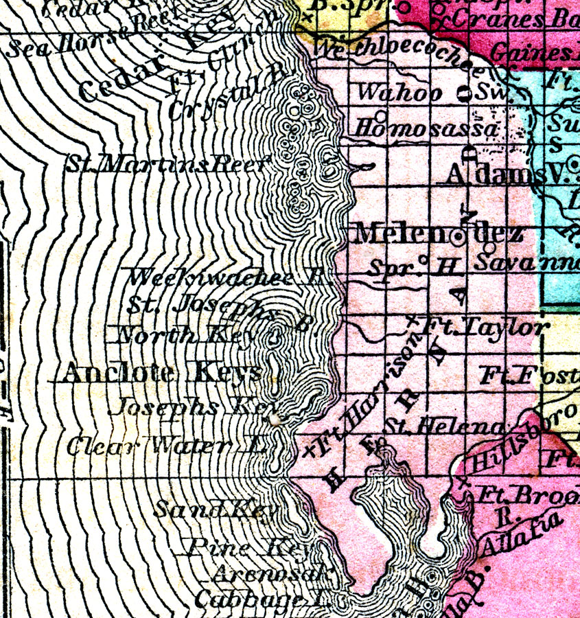
Description: A map of Hernando County as of 1857 showing towns, forts, wetlands, bodies of water, and the county seat.
Source: Charles W. Morse, Diamond Atlas (New York, NY: Samuel Gaston , 1857)
Map Credit: Courtesy the private collection of Roy Winkelman
SearchLicensePDF HelpGIS Help Google Earth Help Zoomify Help

 FL Maps > County > Hernando > Hernando County, 1857