mapsExploring Florida
 FL Maps > Local > Franklin > Carrabelle, 1944
Site Map 

Carrabelle, 1944


Puzzle Directions: Click on a puzzle piece and drag it where you want it. When you connect two pieces correctly, they will join together. Mix up the pieces again. View finished map in pop-up window.

Title: Carrabelle
Projection: Unknown
Source Bounding Coordinates:
W: E: N: S:

Back to Map Page
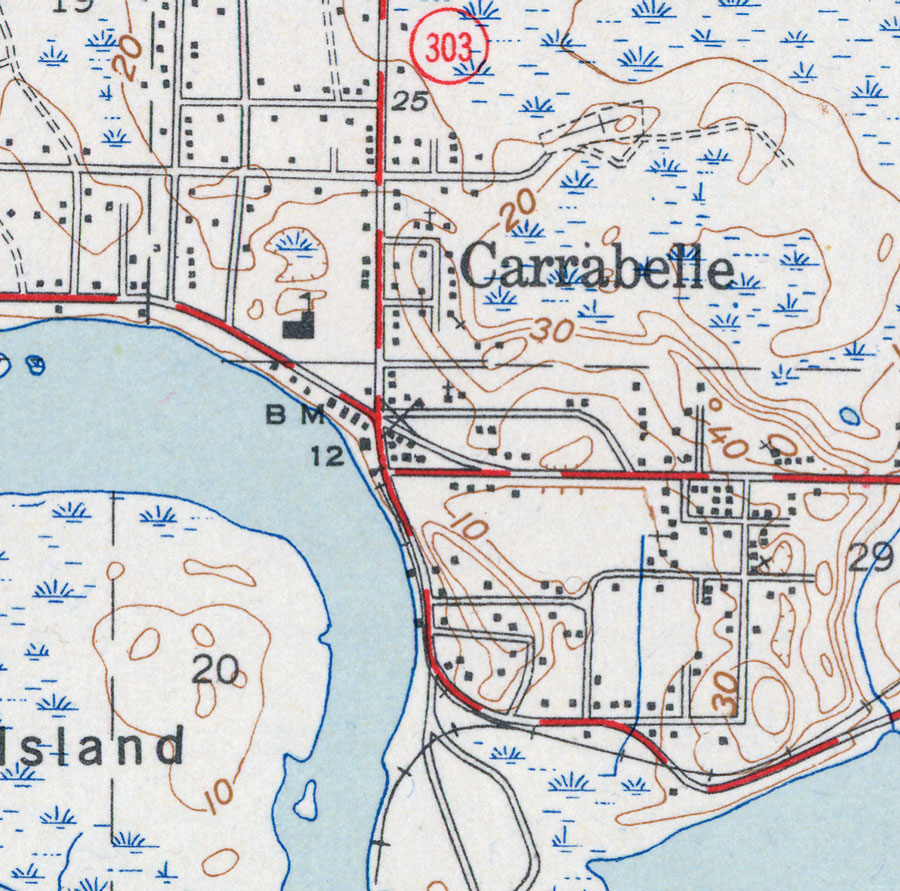
Description: This is a map of Carrabelle in Franklin County, Florida. It shows elevation, roads, railroads, inland waters and locations of dwellings, churches and a school. Detail view from a United States Geological Survey map. Key to USGS maps.
Source:
Map Credit: Courtesy of the Pennsylvania State University Library's Map Library
SearchLicensePDF HelpGIS Help Google Earth Help Zoomify Help

 FL Maps > Local > Franklin > Carrabelle, 1944