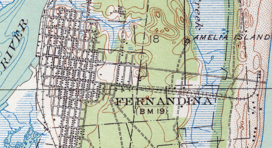
Description: This is a map of Fernandina in Nassau County, Florida. It shows elevation, roads, railroads, inland waters and locations of dwellings and a school. Detail view from a United States Geological Survey map. Key to USGS maps.
Place Names: Nassau, Fernandina, Fernandina Beach, Amelia Island, Amelia River
ISO Topic Categories: elevation, location, transportation, inlandWaters
Keywords: Fernandina, physical, transportation, topographical, roads, railroads, elevation, location, transportation, inlandWaters, Unknown,1919
Source: US Coast and Geodetic Survey, (, : United States Geological Survey, 1919)
Map Credit: Courtesy of the Pennsylvania State University Library's Map Library |
|