Maps Site map
  FL Maps > Local > Nassau
Site Map  

City and Local Maps for Nassau County

Click on a thumbnail image to view a full size version of that map.

  Record   1   to   25  of   31

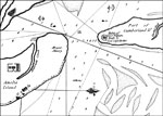
A Plan of Amelia Harbour and Barr in East Florida, 1794
Digitization provided by the USF Libraries Digitization Center. Rare Maps. This is a map of the Amelia Island area showing marshes, plantations, islands, water depths and more, circa 1794. Surveyed in 1775 by Jacob Blamey, Master of His Majesty's Sch...

A Detail Plan of Amelia Harbour and Barr in East Florida, 1794
A detail portion of Blamey's map of the entrance of the St. Mary's River. Digitization provided by the USF Libraries Digitization Center. Rare Maps. This is a map of the Amelia Island area showing marshes, plantations, islands, water depths and more,...

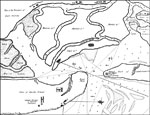
A Plan of Amelia Harbour and Barr in East Florida: Detail, 1794
A detail portion of Blamey's map of the entrance to the entrance of the St. Mary's River. References to the map include a plantation house and stores (A), sand hill on the northernmost is a beacon (C), and a cluster of trees in the offing appearing l...

Comparative Chart of St. Mary's Bar and Fernandina Harbor, Florida, 1856
A pre-Civil War map of the waterway at the mouth of the St. Mary's river comparing soundings from the survey of 1843 and the survey of 1856. Soundings are shown in feet for the 6, 12, and 18-foot depths. Water depths have a strategic significance for...

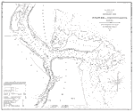
Map of the Entrance to Cumberland Sound, 1891
A map of proposed revisions of the project to improve the entrance to the Cumberland Sound between Florida and Georgia. The original plan called for the construction of jetties to improve the waterway. This map shows the proposed extensions of thes...

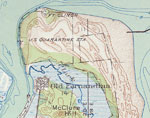
Amelia Island, 1919
This is a map of Amelia Island in Nassau County, Florida courtesy of the Pennsylvania State University map library. It shows elevation, roads, inland waters, Atlantic Ocean and locations of dwellings. Detail view from a United States Geological Surve...

Fernandina, 1919
This is a map of Fernandina in Nassau County, Florida courtesy of the Pennsylvania State University map library. It shows elevation, roads, railroads, inland waters and locations of dwellings and a school. Detail view from a United States Geological ...

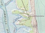
Franklintown, 1919
This is a map of Franklintown in Nassau County, Florida courtesy of the Pennsylvania State University map library. It shows elevation, roads, inland waters such as the Amelia River, oceans and locations of dwellings. Detail view from a United States ...

Ft. Clinch, 1919
This is a map of Ft. Clinch in Nassau County, Florida courtesy of the Pennsylvania State University map library. It shows elevation, roads, railroads, inland waters, oceans and locations of dwellings. Detail view from a United States Geological Surve...

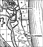
Amelia City, 1940
This is a detailed map of the city Amelia City in Nassau County, Florida. Section Township Range (STR) is shown. This map shows roads, seasonal dwelling, a school, a church, farm units and dwellings other than farms. Key...

Andrews, 1940
This is a detailed map of the city Andrews in Nassau County, Florida. Section Township Range (STR) is shown. This map shows state roads, US highways, railroads, seasonal dwellings, camps, businesses, a church, a cemetery, farm units and dwellings oth...

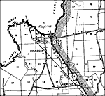
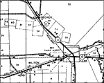
Becker, 1940
This is a detailed map of the city Becker in Nassau County, Florida. Section Township Range (STR) is shown. This map shows state roads, US highways, railroads, businesses, tenant houses, a school, a church, forest ranger lookout station, farm units a...

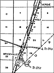
Bryceville, 1940
This is a detailed map of the city Bryceville in Nassau County, Florida. Section Township Range (STR) is shown. This map shows state roads, railroads, air beacon, farm units and dwellings other than farms. Key to Florida...

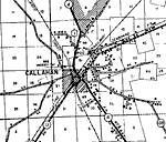
Callahan, 1940
This is a detailed map of the city Callahan in Nassau County, Florida. Section Township Range (STR) is shown. This map shows state roads, US highways, railroads, tenant houses, businesses, air beacon, a church, a pool, camp, a cemetery, farm units an...

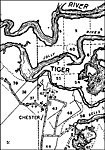
Chester, 1940
This is a detailed map of the city Chester in Nassau County, Florida. Section Township Range (STR) is shown. This map shows roads, churches, a cemetery, seasonal dwellings, farm units and dwellings other than farms. Key ...

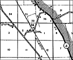
Dyal, 1940
This is a detailed map of the city Dyal in Nassau County, Florida. Section Township Range (STR) is shown. This map shows state roads, railroads, a business, a sawmill, farm units and dwellings other than farms. Key to Fl...

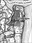
Fernandina, 1940
This is a detailed map of the city Fernandina in Nassau County, Florida. Section Township Range (STR) is shown. This map shows state roads, railroads, Fort Clinch State Park, county seat, businesses, seasonal dwellings, a factory, camps, farm units a...

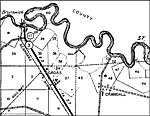
Gross, 1940
This is a detailed map of the city Gross in Nassau County, Florida. Section Township Range (STR) is shown. This map shows state roads, US highways, railroads, seasonal dwellings, tenant houses, a church, farm units and dwellings other than farms.

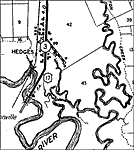
Hedges, 1940
This is a detailed map of the city Hedges in Nassau County, Florida. Section Township Range (STR) is shown. This map shows state roads, railroads, businesses, camps, farm units and dwellings other than farms. Key to Flor...

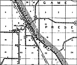
Hilliard, 1940
This is a detailed map of the city Hilliard in Nassau County, Florida. Section Township Range (STR) is shown. This map shows state roads, US highways, railroads, tenant houses, schools, businesses, camps, churches, sawmill, farm units and dwellings o...

Kent, 1940
This is a detailed map of the city Kent in Nassau County, Florida. Section Township Range (STR) is shown. This map shows state roads, railroads, a church, a school, turpentine still, farm units and dwellings other than farms.

Kings Ferry, 1940
This is a detailed map of the city Kings Ferry in Nassau County, Florida. Section Township Range (STR) is shown. This map shows roads, churches, a school, farm units and dwellings other than farms. Key to Florida Highway...

Lessie, 1940
This is a detailed map of the city Lessie in Nassau County, Florida. Section Township Range (STR) is shown. This map shows state roads, schools, turpentine still, farm units and dwellings other than farms. Key to Florida...

Oneil, 1940
This is a detailed map of the city Oneil in Nassau County, Florida. Section Township Range (STR) is shown. This map shows state roads, railroads, seasonal dwellings, a school, camp, churches, sawmill, farm units and dwellings other than farms.

Verdie, 1940
This is a detailed map of the city Verdie in Nassau County, Florida. Section Township Range (STR) is shown. This map shows roads, railroads, a church, air beacon, farm units and dwellings other than farms. Key to Florida...

Next Last


  FL Maps > Local > Nassau
Site Map  

Maps ETC is a part of the Educational Technology Clearinghouse
Produced by the Florida Center for Instructional Technology © 2007
College of Education , University of South Florida