mapsExploring Florida
 FL Maps > Local > St. Johns > St. Augustine Old Town, 1943
Site Map 

St. Augustine Old Town, 1943


Puzzle Directions: Click on a puzzle piece and drag it where you want it. When you connect two pieces correctly, they will join together. Mix up the pieces again. View finished map in pop-up window.

Title: St. Augustine Old Town
Projection: Unknown
Source Bounding Coordinates:
W: E: N: S:

Back to Map Page
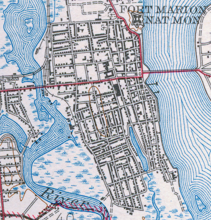
Description: This is a map of St. Augustine Old Town in St. Johns County, Florida. It shows elevation, roads, railroads, inland waters and locations of dwellings, churches, schools, Fort Marion National Monument and more. Detail view from a United States Geological Survey map. Key to USGS maps.
Source:
Map Credit: Courtesy of the Pennsylvania State University Library's Map Library
SearchLicensePDF HelpGIS Help Google Earth Help Zoomify Help

 FL Maps > Local > St. Johns > St. Augustine Old Town, 1943