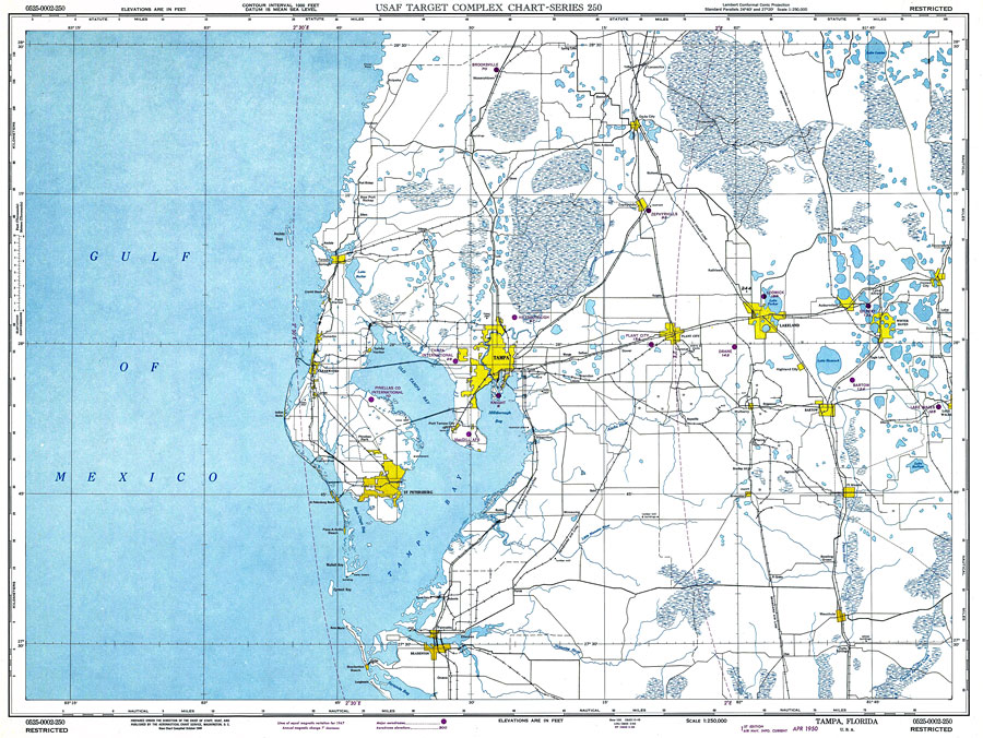
Title: Tampa, Florida
Projection: Lambert_Conformal_Conic,
Source Bounding Coordinates:
W: -83.5 E: -81.5 N: 28.5 S: 26 |
| | Description: A map of the Tampa Bay area used by pilots to navigate between airports circa 1950. Navigation aids include lines of equal variation in magnetic declination, and radio towers as well as visual aids such as transmission lines, railroads, major roads, and major aerodromes and their elevation above mean sea level. Elevations are in feet with contour intervals at 1,000 feet. The map scale is 1:250,000. Key to NOAA maps.
Source: , USAF Target Complex Chart (Washington, DC: Aeronautical Chart Service, 1950)
Map Credit: Courtesy the U.S. National Oceanic and Atmospheric Administration |
| |
|