Puzzle Directions: Click on a puzzle piece and drag it where you want it. When you connect two pieces correctly, they will join together. Mix up the pieces again. View finished map in pop-up window. |
|
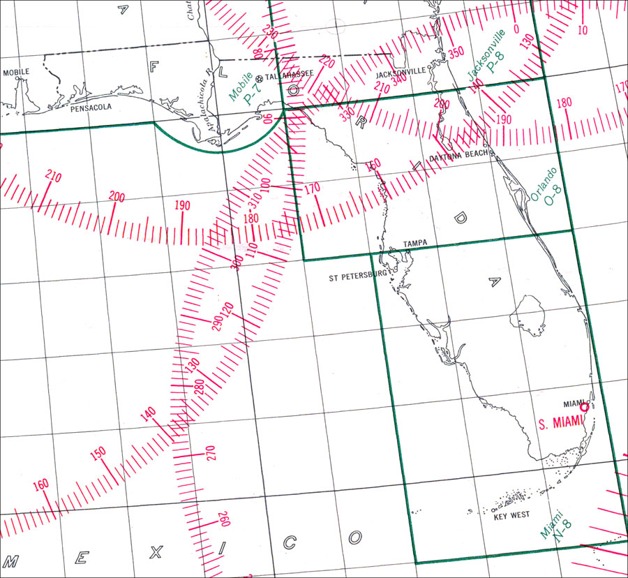
Title: Great Circle Chart: Florida
Projection: Gnomonic,
Source Bounding Coordinates:
W: E: N: S: |
| | Description: 1941 map of Florida. Depiction of compass roses indicate major cities where possible flight paths between two points could be plotted. A straight line drawn between any two points signifies the measurement of the shortest distance betweent them. The scale is 1:5094000. Key to NOAA maps.
Source: United States Coast and Geodetic Survey, (Washington D.C., DC: United States Coast and Geodetic Survey, 1941)
Map Credit: Courtesy of the United States National Oceanic and Atmospheric Administration |
| |
|