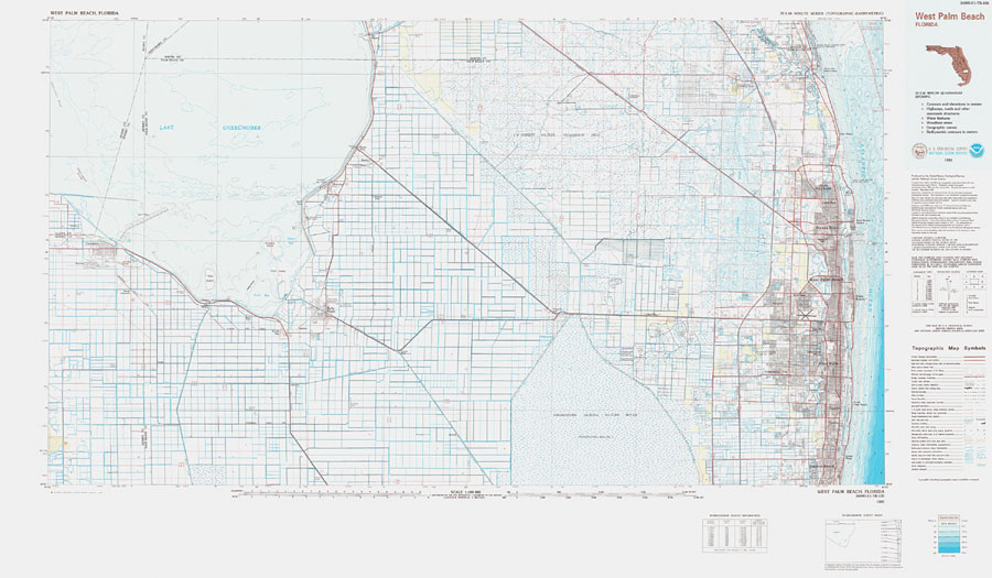
Description: A US Geological Survey and National Ocean Service map of south Florida from Boynton Beach to Jupiter, current to 1985. This topographic-bathymetric map shows elevations and depths in meters. Contour interval 5 meters. Bathymetric contour interval 2 meters. Map also includes roads, waterways, airports, national parks and refuges, swamps, and forests. Map divided into townships and ranges. North American 1929 Datum used. The map scale is 1:100,000, metric . Key to NOAA maps.
Source: US Geological Survey and National Ocean Service, West Palm Beach Quadrangle (Reston, VA: US Geological Survey, 1985)
Map Credit: Courtesy the U.S. National Oceanic and Atmospheric Administration |
|