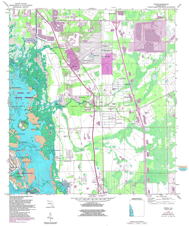
Description: A US Coast and Geodetic Survey and National Ocean Service map of southwest Florida from Naples Park to Bonita Springs, current to 1987. This topographic-bathymetric map shows elevations and depths in meters. Contour interval 5 meters. Bathymetric contour interval 1 meters. Map also includes roads, waterways, airports, housing developments, golf courses, national parks and refuges, swamps, and forests. Map divided into townships and ranges. North American 1929 Datum used. The map scale is 1:24,000. Key to NOAA maps.
Source: US Geological Survey and National Ocean Service, (Reston, VA: US Geological Survey, 1987)
Map Credit: Courtesy the U.S. National Oceanic and Atmospheric Administration |
|