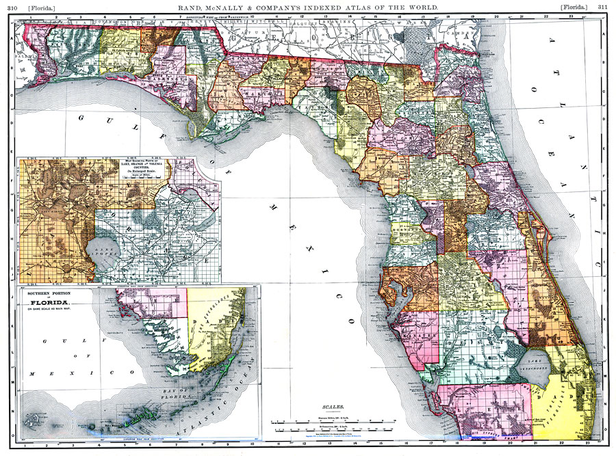
Description: Digitization provided by the USF Libraries Digitization Center. Rare Maps. This is a detailed map of the state of Florida with an inset of the southern portion of Florida and an inset map showing parts of Lake, Orange and Volusia counties. This map shows section township range (STR) except for the Everglades in Dade county which was not surveyed yet. Scale: Statute Miles, 19 = 1 inch. Engraved, printed and published by Rand, McNally & Company (on verso). Measurements.Dimensions: 47 x 65 cm. Coordinates entered are for entire map of Florida.
Source: Rand, McNally and Company, Rand, McNally and Company's Indexed atlas of the world. Florida. (Chicago, IL: Rand, McNally and Company, 1898) 311
Map Credit: Courtesy of the Special Collections Department, University of South Florida. |
|