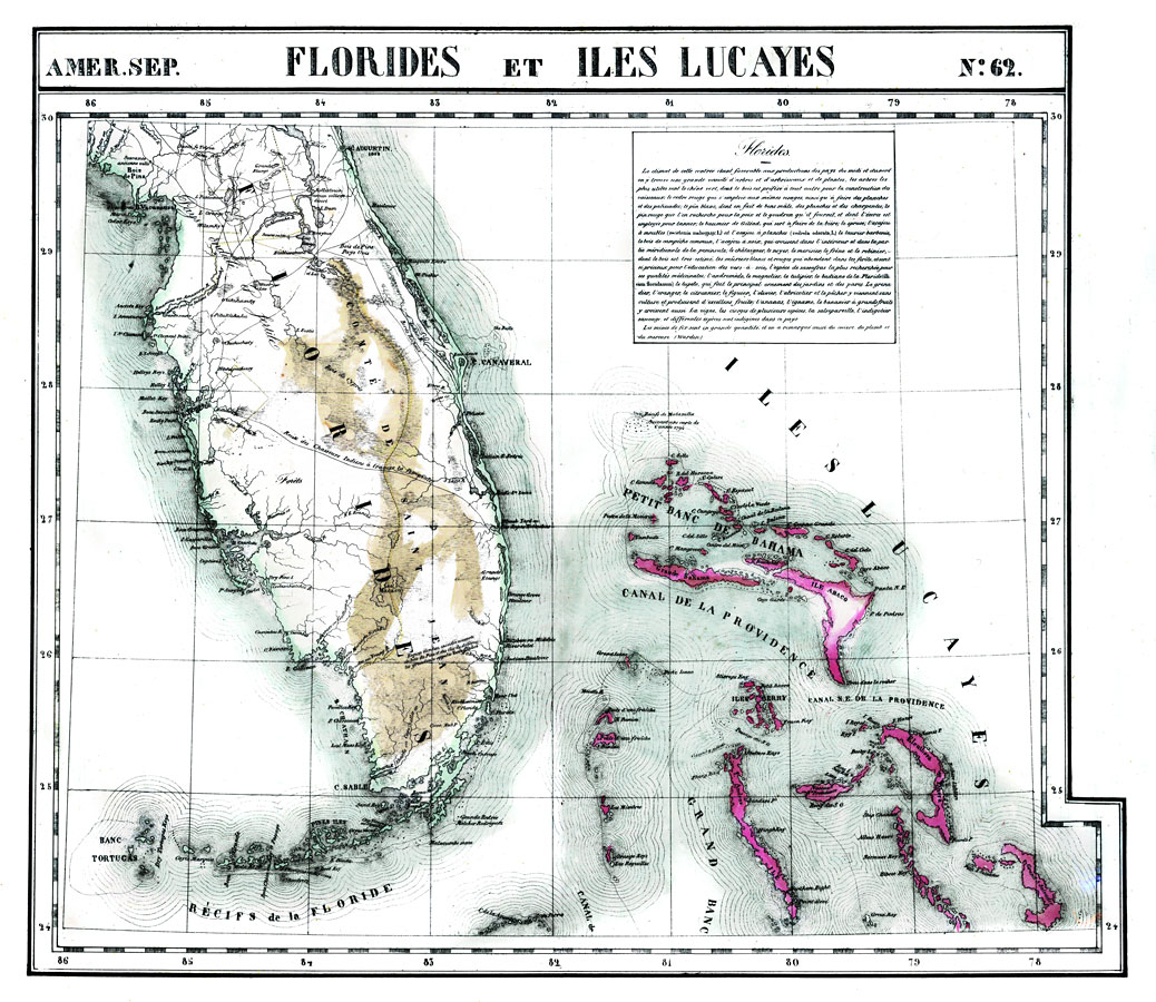
Description: Digitization provided by the USF Libraries Digitization Center. Rare Maps. This is a hand colored lithographed map of Florida and Iles Lucayes showing the Bahamas. Includes information under "Florides" that explains the variety of trees and plants found in Florida including the Green Oak and other trees that are important for building and such. It also mentions fruit production like pomegranates and it says that iron mines are numerous. Vandermaelen's maps are frequently misunderstood because each map is usually best comprehended in the context of its neighboring maps - the maps do not function well on their own, since they were all meant to be joined. Measurements.Dimensions: 48 x 54 cm Measurements.Format: Scale [ca. 1:1,641,836]
Source: Philippe Vandermaelen, (Bruxelles, : Ph. Vandermaelen, 1827)
Map Credit: Courtesy of the Special Collections Department, University of South Florida. |
|