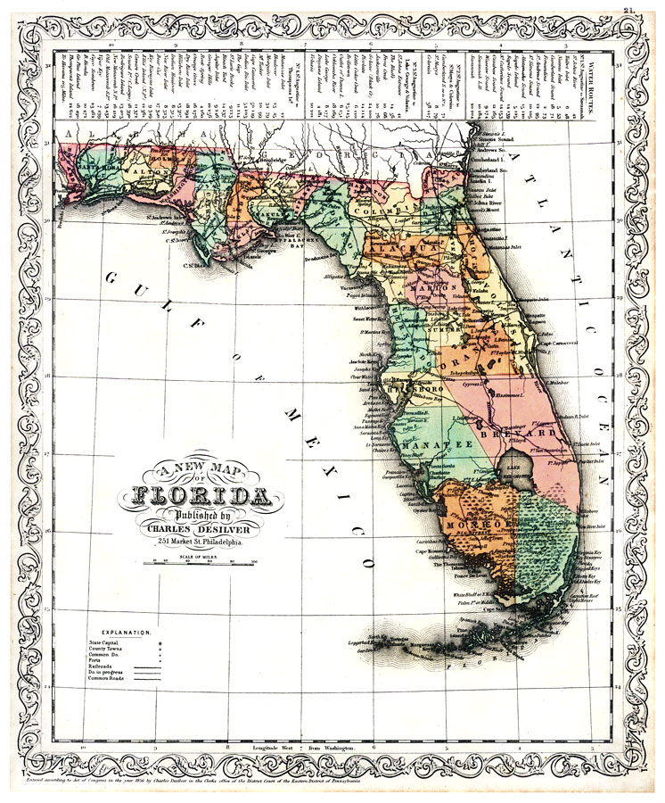
Description: Digitization provided by the USF Libraries Digitization Center. Rare Maps. This is a detailed map of Florida with counties shown and colored. The map states, "Entered according to an act of Congress in the year 1856." Prime meridian: Washington, D. C. Includes mileage chart for various routes. Measurements.Dimensions: Scale [1:1,267,200]
Place Names: 1840-1859, St. Johns River, Atlantic Ocean, Jacksonville, Pensacola, Apalachicola, Tallahassee, Saint Augustine, Tampa, Cape Canaveral, Lake Okeechobee, Fort Lauderdale, Key West, Gulf of Mexico
ISO Topic Categories: inlandWaters, oceans, boundaries
Keywords: A New Map of Florida, physical, historical, political, physical features, country borders, county borders, inlandWaters, oceans, boundaries, Unknown,1856
Source: Charles Desilver, (Philadelphia, PA: Charles Desilver, 1856)
Map Credit: Courtesy of the Special Collections Department, University of South Florida. |
|