Maps Site map
  FL Maps > State > 1840-1859
Site Map  

  Record   1   to   15  of   15

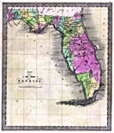
Map of the State of Florida, 1842
This 1842 map of Florida shows roads, railroads, counties, forts, naval depots and other military installations, major towns, rivers, and lakes. Of interest are the counties of the time, including Leigh Read County, which was proposed but never passe...

Presidential Election Results, 1844 to 1848
These two maps show the Presidential election results between 1844 and 1848. Florida was not admitted into the Union until March 3, 1845 and therefore did not participate in the 1844 election. In 1848 Florida voted for the Whig Party (Taylor) with 3...

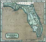
Florida, 1845
This 1845 map shows major towns, rivers and lakes in Florida. There are twenty counties shown, including Mosquito County. This map comes from the first school atlas to make use of the cerographic process, or wax engraving. Longitude is shown from Gre...

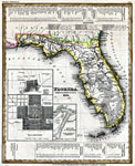
Florida, 1845
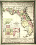
Meyer's 1845 map of Florida is derived from the Tanner/Mitchell Universal atlas map of 1839, complete with the detail maps of Pensacola, Tallahassee, and Saint Augustine, and the water routes noted in the upper and lower margins. Certain discrepancie...

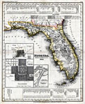
Florida, 1845
Meyer's 1850 map of Florida is derived from the Tanner/Mitchell Universal atlas map of 1839, and similar to the 1845 map, complete with the detail maps of Pensacola, Tallahassee, and Saint Augustine, and the water routes noted in the upper and lower ...

Map of the United States and Texas, 1848
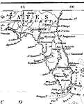
A pre-Civil War map of Florida showing no towns or habitation along the Atlantic Coast from Mosquito Bar (New Smyrna Beach) to Key West or from Fort Brooke (Tampa) to Key West along the Gulf Coast. The Tallahassee to St. Marks line is the only railro...

Central America and the West Indies, 1848
A pre-Civil War map of Florida showing an imprecise northern border with Alabama and Georgia, and several naming inaccuracies such as the Suwannee River labeled as the St. John's River, or obsolete names such as the Marquesas Keys labeled The Martyrs...

Florida, 1850
This 1850 map from the New Universal Atlas shows towns, forts, roads, canals, major rivers and lakes in Florida. There are references to forts, battlefields, and routes used by the Army during the Seminole War. There are also three inset maps detaili...

Detail - A new map of the United States, 1851
A detail from the 1851 Williams map "A new map of the United States. Upon which are delineated its vast works of internal communication, routes across the continent &c. showing also Canada and the Island of Cuba," sowing Florida. Coastline,...

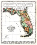
Colton's Florida, 1855
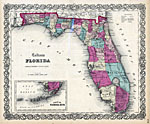
Digitization provided by the USF Libraries Digitization Center. Rare Maps. This is a map of Florida showing counties, cities, inland waters, etc. There is an inset titled "Plan of the Florida Keys." The map states, "Entered according to Act...

Florida, 1855
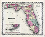
Digitization provided by the USF Libraries Digitization Center. Rare Maps. This is a map of Florida showing the counties, cities and towns, inland waters, railroads, roads, etc, circa 1855. There is an inset map of the Florida Keys as well. Section t...

A New Map of Florida, 1856
Digitization provided by the USF Libraries Digitization Center. Rare Maps. This is a detailed map of Florida with counties shown and colored. The map states, "Entered according to an act of Congress in the year 1856." Prime meridian: Washin...

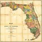
Map of the State of Florida , 1856
This map from the annual report of the Surveyor General in 1856 shows drainage, cities and towns, roads, trails, and location of two railroad lines in the northern part of the state. Township grids based on the Tallahassee base line parallel and the ...

Florida, 1857
A map of the state of Florida as of 1857 showing counties, the state capital, county seats, towns, forts, and bodies of water. Includes an inset map of the southern part of Florida....

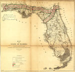
Map of the State of Florida showing the progress of the surveys accompanying annual report of the Surveyor General, 1859
Railroad map of Florida showing drainage, cities and towns, roads, railroads, location of the land grant railroads and indicating the 6- and 15-mile limits of grants in 1859. Township grids based on the Tallahassee basis parallel and the Tallahassee ...


  FL Maps > State > 1840-1859
Site Map  

Maps ETC is a part of the Educational Technology Clearinghouse
Produced by the Florida Center for Instructional Technology © 2007
College of Education , University of South Florida