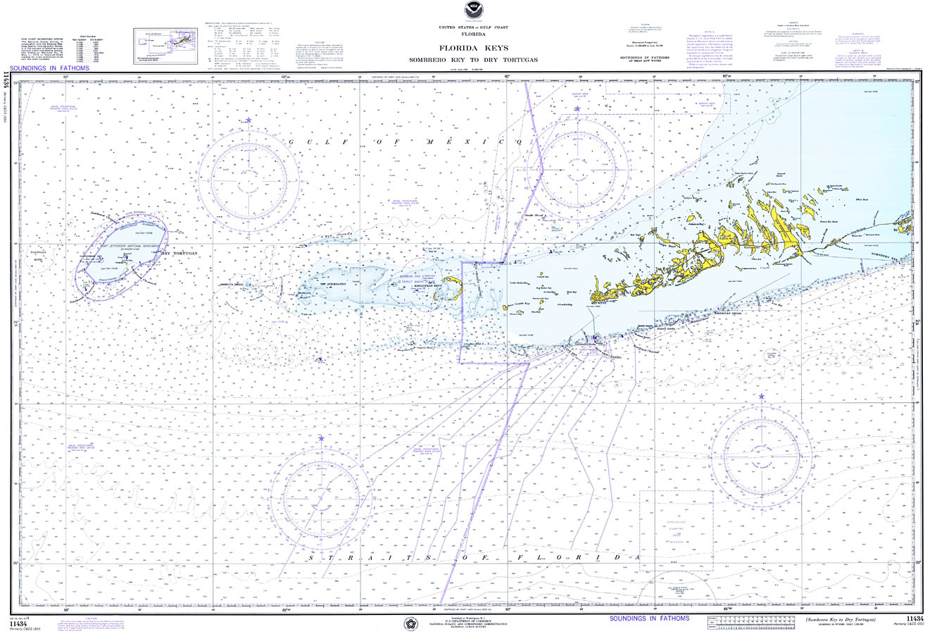
Title: Florida Keys: Sombrero Key to Dry Tortugas
Projection: Mercator,
Source Bounding Coordinates:
W: -83 E: -81 N: 25 S: 24 |
| | Description: A National Oceanic and Atmospheric Administration map of the Florida Keys from Sombrero Key to Dry Tortugas, current to 1974. This Department of Commerce chart shows all soundings expressed in fathoms at mean low water. Navigational aids such as lights, beacons, buoys and measures of magnetic declination variances are shown as well as obstructions such as shoals, submerged piles, wreckages and fixed bridges. The map scale is 1:180,000. Key to NOAA maps.
Source: National Oceanic and Atmospheric Administration, United States - Gulf Coast, Florida (Washington, D.C.: U.S. Department of Commerce, 1974)
Map Credit: Courtesy the U.S. National Oceanic and Atmospheric Administration |
| |
|