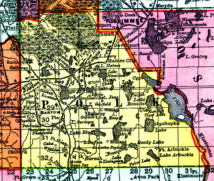
Description: Digitization provided by the USF Libraries Digitization Center. Rare Maps. This is a detail map of Polk county circa 1898. This map shows section township range (STR). Main cities and towns are shown such as the county seat Bartow. Inland waters are also shown such as the Withlacoochee River. Scale: Statute Miles, 19 = 1 inch. Engraved, printed and published by Rand, McNally & Company.
Source: Rand, McNally and Company, Rand, McNally and Company's Indexed atlas of the world. Florida. (Chicago, IL: Rand, McNally and Company, 1898) 311
Map Credit: Courtesy of the Special Collections Department, University of South Florida. |
|