Title: Cumberland Sound: Fernandina Beach
Projection: Mercator,
Source Bounding Coordinates:
W: E: N: S: |
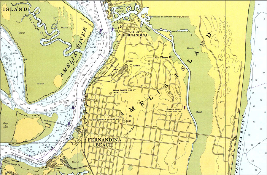
| | Description: A National Oceanic and Atmospheric Administration map of Fernandina Harbor and Fernandina Beach current to 1977. This National Ocean Survey chart shows all soundings expressed in feet. Navigational aids such as beacons and buoys are shown as well as obstructions such as submerged rock and piles. North American 1927 Datum used. The map scale is 1:20,000. Key to NOAA maps.
Source: National Oceanic and Atmospheric Administration, Cumberland Sound: Fernandina Harbor to Kings Bay (Washington, DC: National Oceanic and Atmospheric Administration, 1977)
Map Credit: Courtesy the U.S. National Oceanic and Atmospheric Administration |
| |
|