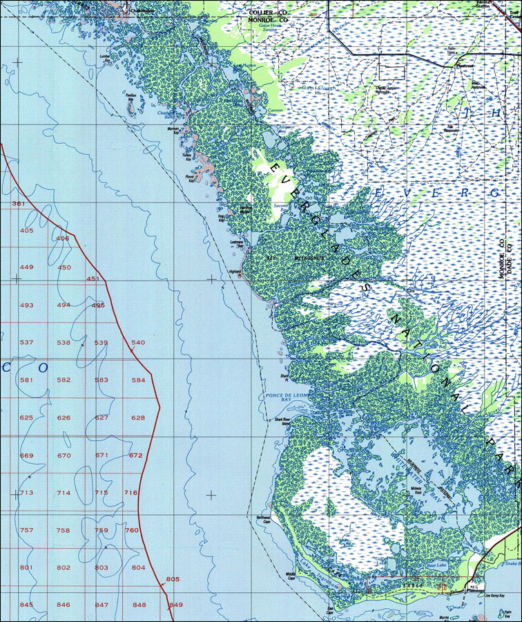
Description: A US Geological Survey and National Ocean Service map of mainland Monroe County in south Florida current to 1988. This topographic-bathymetric map shows elevations and depths in meters. Contour interval 5 meters. Bathymetric contour interval 10 meters. Map also includes roads, national parks and refuges, swamps, forests and waterways including the Everglades Wilderness Waterway from Flamingo to Chokoloskee. North American 1927 Datum used. The map scale is 1:250,000, metric . Key to USGS maps.
Source: US Geological Survey and National Ocean Service, Miami Area Topographic-Bathymetric Map (Colorado Springs, CO: US Geological Survey, 1988)
Map Credit: Courtesy the U.S. National Oceanic and Atmospheric Administration |
|