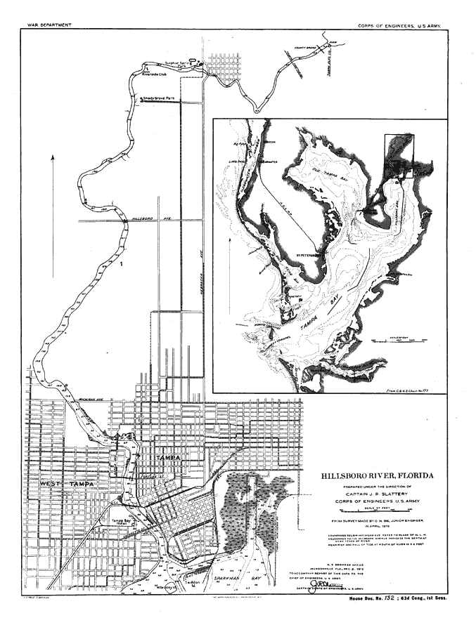
Title: Hillsboro River, Florida
Projection: Unknown
Source Bounding Coordinates:
W: E: N: S: |
| | Description: Digitization provided by the USF Libraries Digitization Center. Rare Maps. This is a map of the Hillsboro or Hillsborough River, circa 1910. The soundings are explained under the title. It shows an overview and detail map of the river. It shows cities and towns, roads, railroads, locations, water depths and inland waters.
Source: Capt. J. R. Slattery, Corps of Engineers, U. S. Army, (Washington, D. C.: The Norris Peters Co., 1910)
Map Credit: Courtesy of the Special Collections Department, University of South Florida. |
| |
|