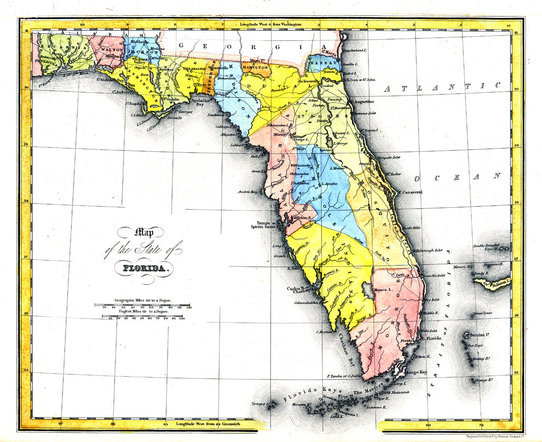
Description: Digitization provided by the USF Libraries Digitization Center. Rare Maps. This is a map of Florida, circa 1832. It shows counties, cities and towns, inland waters and Indian paths. It shows latitude from Greenwich and Washington. Measurements.Dimensions: 21.5 x 26 cm Measurements.Resolution: Scale [ca. 1:4,181,760]
Source: Fenner Sears and Co., engraver & printer, The History and Topography of the United States (London, : Hinton, I. T. Simpkin, Marshall and Co., 1832)
Map Credit: Courtesy of the Special Collections Department, University of South Florida. |
|