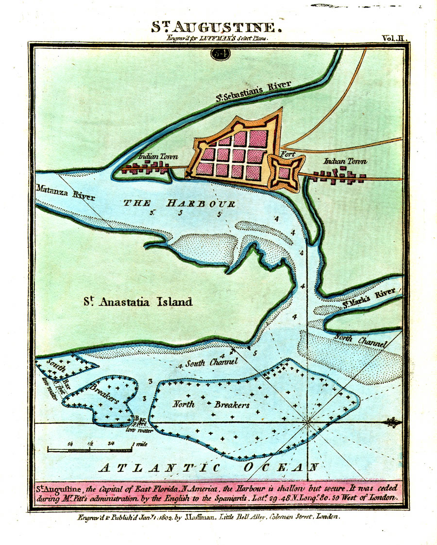
Description: Digitization provided by the USF Libraries Digitization Center. Rare Maps. This is a map of St. Augustine which was the capital of East Florida, circa 1802. This map shows roads, Indian towns, the fort (San Marcos), inland waters and water depths. The map states, "St. Augustine, the Capital of East Florida, N. America, the Harbour is shallow but secure. It was ceded during Mr. Pitt's administration by the English to the Spaniards." Measurements.Dimensions: 14.5 x 18 cm. Measurements.Resolution: Scale [ca. 1:31,700]
Source: J. Luffman, (London, : J. Luffman, 1802)
Map Credit: Courtesy of the Special Collections Department, University of South Florida. |
|