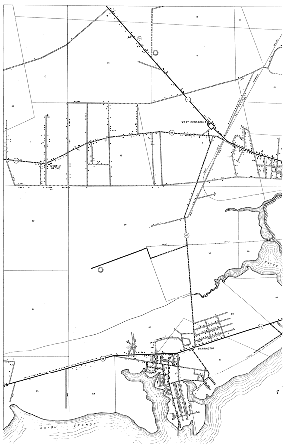
Description: This is a detailed map of the west part of the county of Escambia in the state of Florida. Section Township Range (STR) is shown. This map shows all of the main cities, state roads, US Highways, bridge highways, federal aided highway, county boundary, businesses, camps or lodges, churches, sawmills, cemeteries, farm units, dwellings other than farms, inland water, schools, hotels, and seasonal dwellings. Key to Florida Highway maps.
Place Names: Escambia, West Pensacola, Myrtle Grove, Warrington, Bayou Grande
ISO Topic Categories: inlandWaters, boundaries, transportation, location
Keywords: West Escambia 1, physical, political, transportation, physical features, county borders, local jurisdictions, roads, railroads, inlandWaters, boundaries, transportation, location, Unknown,1936
Source: , Florida State Road Department (Tallahassee, FL: FDOT, 1936)
Map Credit: Courtesy the private collection of Roy Winkelman. |
|