mapsExploring Florida
 FL Maps > County > Sumter > Sumter County, 1860
Site Map 

Sumter County, 1860


Puzzle Directions: Click on a puzzle piece and drag it where you want it. When you connect two pieces correctly, they will join together. Mix up the pieces again. View finished map in pop-up window.

Title: Sumter County
Projection: Unknown
Source Bounding Coordinates:
W: -82.3 E: -81.6 N: 29 S: 28.4

Back to Map Page
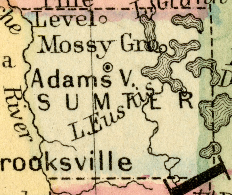
Description: A map of Sumter County as of 1860 showing towns, rivers, lakes, and the county seat.
Source: Augustus Mitchell, Mitchell's New General Atlas (Philadelphia, PA: S. Augustus Mitchell, 1860)
Map Credit: Courtesy the private collection of Roy Winkelman.
SearchLicensePDF HelpGIS Help Google Earth Help Zoomify Help

 FL Maps > County > Sumter > Sumter County, 1860