Puzzle Directions: Click on a puzzle piece and drag it where you want it. When you connect two pieces correctly, they will join together. Mix up the pieces again. View finished map in pop-up window. |
|
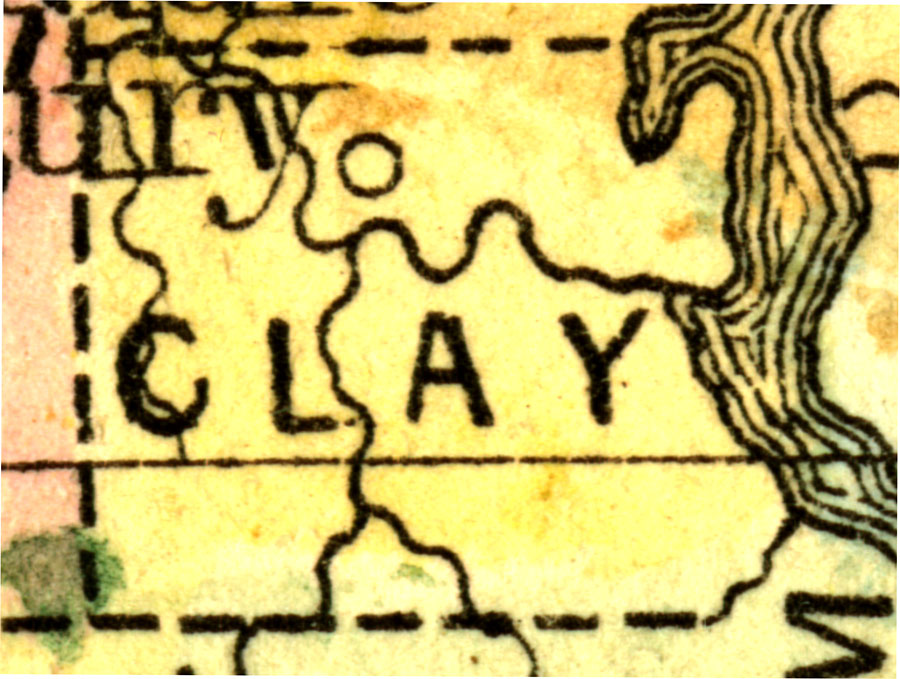
Title: Clay County
Projection: Unknown
Source Bounding Coordinates:
W: -81.9 E: -81.6 N: 30.2 S: 29.9 |
| | Description: A map of Clay County as of 1860 showing rivers and towns.
Source: Augustus Mitchell, Mitchell's New General Atlas (Philadelphia, PA: S. Augustus Mitchell, 1860)
Map Credit: Courtesy the private collection of Roy Winkelman. |
| |
|