|
|
|
| FL Maps > Local > Palm Beach |
Click on a thumbnail image to view a full size version of that map.
|
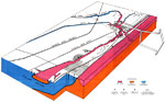
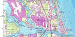
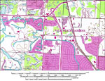
Encroaching Salt Water in Northeast Palm Beach County,
1972 |
|
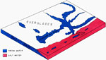
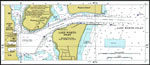
Jupiter Inlet Fresh Water,
1972 |
|
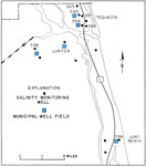
Monitoring Wells Data in Palm Beach,
1973 |
|
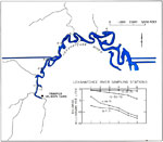
Diminishing Flow of the Loxahatchee River,
1973 |
|
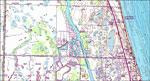
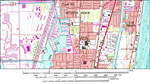
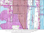
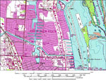
Palm Beach,
1974 |
|
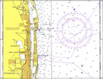
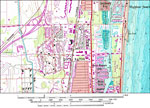
Port of Palm Beach,
1977 |
|
Juno Beach,
1983 |
|
Jupiter,
1983 |
|
Tequesta,
1983 |

|
North Boca Raton,
1983 |
|
South Boca Raton,
1983 |
|
Boynton Beach,
1983 |
|
North Delray Beach,
1983 |
|
South Delray Beach,
1983 |

|
Atlantis,
1983 |
|
North Boynton Beach,
1983 |
|
South Boynton Beach,
1983 |
|
Hypoluxo,
1983 |
|
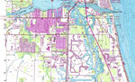
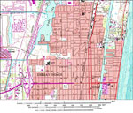
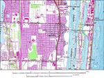
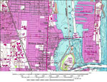
Lake Worth and Palm Beach,
1983 |
|
Lantana,
1983 |
|
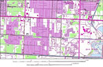
Greenacres City,
1983 |
|
Juno Beach,
1983 |
|
Palm Beach Gardens,
1983 |
|
North Palm Beach,
1983 |
|
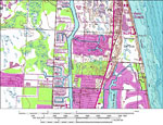
Riviera Beach,
1983 |
| Next | Last |
| FL Maps > Local > Palm Beach |
Maps ETC
is a part of the
Educational Technology Clearinghouse
Produced by the
Florida Center for Instructional Technology
© 2007
College of Education
,
University of South Florida