mapsExploring Florida
 FL Maps > County > Suwannee > Suwannee County, 1890
Site Map 

Suwannee County, 1890


Puzzle Directions: Click on a puzzle piece and drag it where you want it. When you connect two pieces correctly, they will join together. Mix up the pieces again. View finished map in pop-up window.

Title: Suwannee County
Projection: Unknown
Source Bounding Coordinates:
W: E: N: S:

Back to Map Page
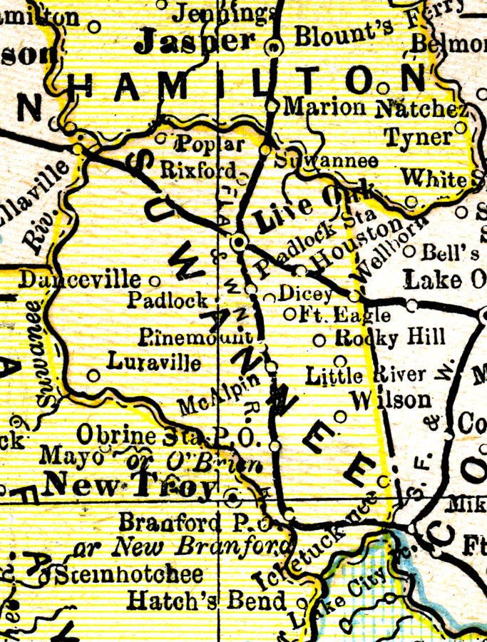
Description: A map of Suwannee County showing towns, bodies of water, county lines, the county seat (Live Oak), and railroads connecting the major cities current to 1890.
Source: George F. Cram, (Chicago, IL: Geo. F. Cram, 1890) 47
Map Credit: Courtesy the private collection of Roy Winkelman.
SearchLicensePDF HelpGIS Help Google Earth Help Zoomify Help

 FL Maps > County > Suwannee > Suwannee County, 1890