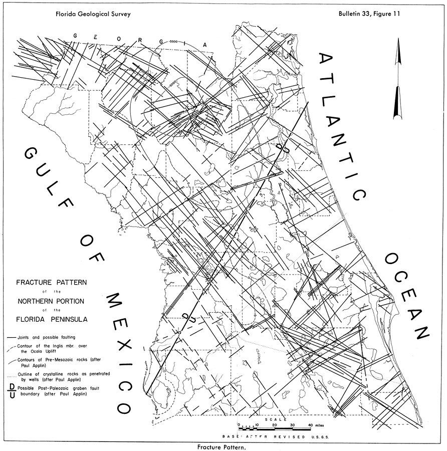
Description: This map from the Florida Geological Survey Bulletin number 33, shows fracture patterns representing structural movements in the Florida peninsula. As noted in the text, the poorly consolidated sediments composing Tertiary rocks of Florida favor adjustments to strain by step fracturing rather than by bending. The predominant northwest to southeast fracture pattern in Citrus and Levy counties appear to be a major system associated with the Ocala uplift. The radiating fracture pattern in Union County resembles the fracturing present over salt domes of the Gulf Coast.
Source: Robert O. Vernon, Geology of Citrus and Levy Counties, Florida (Tallahassee, FL: The Florida Geological Survey, 1951) 48
Map Credit: Courtesy the private collection of Roy Winkelman |
|