mapsExploring Florida
 FL Maps > County > Sarasota > Major Pumping Centers in Southwest Sarasota County, 1996
Site Map 

Major Pumping Centers in Southwest Sarasota County, 1996


Puzzle Directions: Click on a puzzle piece and drag it where you want it. When you connect two pieces correctly, they will join together. Mix up the pieces again. View finished map in pop-up window.

Title: Major Pumping Centers in Southwest Sarasota County
Projection: Albers_Conical_Equal
Source Bounding Coordinates:
W: -82.75 E: -82 N: 27.25 S: 26.75

Back to Map Page
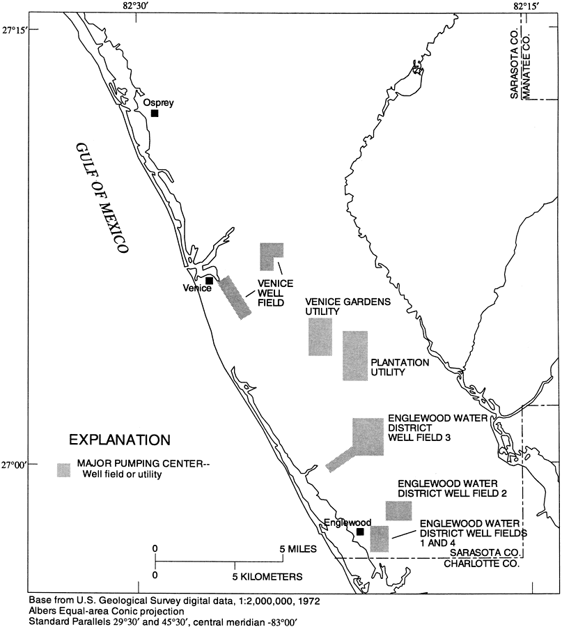
Description: This map from the U. S. Geological Survey Water Resources Investigation Report number 96-4063, Hydrology of the Surficial and Intermediate Aquifer Systems in Sarasota and Adjacent Counties, shows the major well fields or utility pumping centers in southwest Sarasota County. The map scale is 1:2,000,000.
Source: G. L. Barr, USGS Water Resources Investigations Report 96-4063 (Tallahassee, FL: U. S. Geological Survey, 1996) 40
Map Credit: Courtesy the University of South Florida Library
SearchLicensePDF HelpGIS Help Google Earth Help Zoomify Help

 FL Maps > County > Sarasota > Major Pumping Centers in Southwest Sarasota County, 1996