Puzzle Directions: Click on a puzzle piece and drag it where you want it. When you connect two pieces correctly, they will join together. Mix up the pieces again. View finished map in pop-up window. |
|
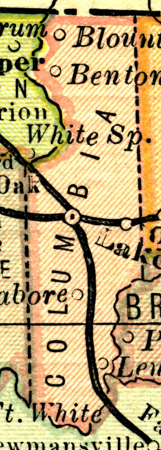
Title: Columbia County
Projection: Unknown
Source Bounding Coordinates:
W: -6 E: -5.5 N: 30.5 S: 29.5 |
| | Description: This map shows Columbia County in Florida current to 1883. It identifies the county seat (Lake City) and railway route to major cities of the time.
Source: L.B. Folger, (Broadway, NY: Phillips & Hunt, 1883)
Map Credit: Courtesy the private collection of Roy Winkelman. |
| |
|