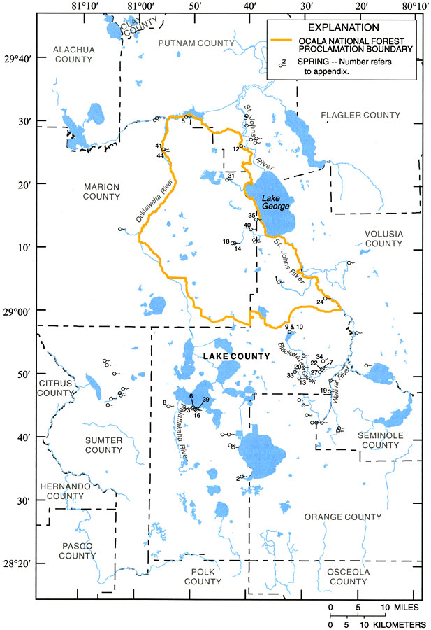
Description: This map from the U. S. Geological Survey Water Resources Investigation Report number 01-4008, Ground-Water Quality of the Surficial Aquifer System and the Upper Floridan Aquifer, Ocala National Forest and Lake County, 1990-99, shows the location of major springs in the region.
Place Names: 1950-1999, Ocala National Forest, Lake County, Marion County, Lake George
ISO Topic Categories: boundaries, geoscientificInformation, inlandWaters
Keywords: Springs in the Ocala National Forest and Lake County, physical, political, hydrological, khydrological, kwater quality, physical features, county borders, local jurisdictions, boundaries, geoscientificInformation, inlandWaters, Unknown,1990 to 1999
Source: J. C. Adamski and L. Knowles, Jr., USGS Water Resources Investigations Report 01-4008 (Tallahassee, FL: U. S. Geological Survey, 2001) 11
Map Credit: Courtesy the University of South Florida Library |
|