mapsExploring Florida
 FL Maps > Region > 1950-1999 > Springs in the Ocala National Forest and Lake County, 1990 to 1999
Site Map 

Springs in the Ocala National Forest and Lake County, 1990 to 1999


Puzzle Directions: Click on a puzzle piece and drag it where you want it. When you connect two pieces correctly, they will join together. Mix up the pieces again. View finished map in pop-up window.

Title: Springs in the Ocala National Forest and Lake County
Projection: Unknown
Source Bounding Coordinates:
W: -81.20 E: -80.10 N: 29.50 S: 28.10

Back to Map Page
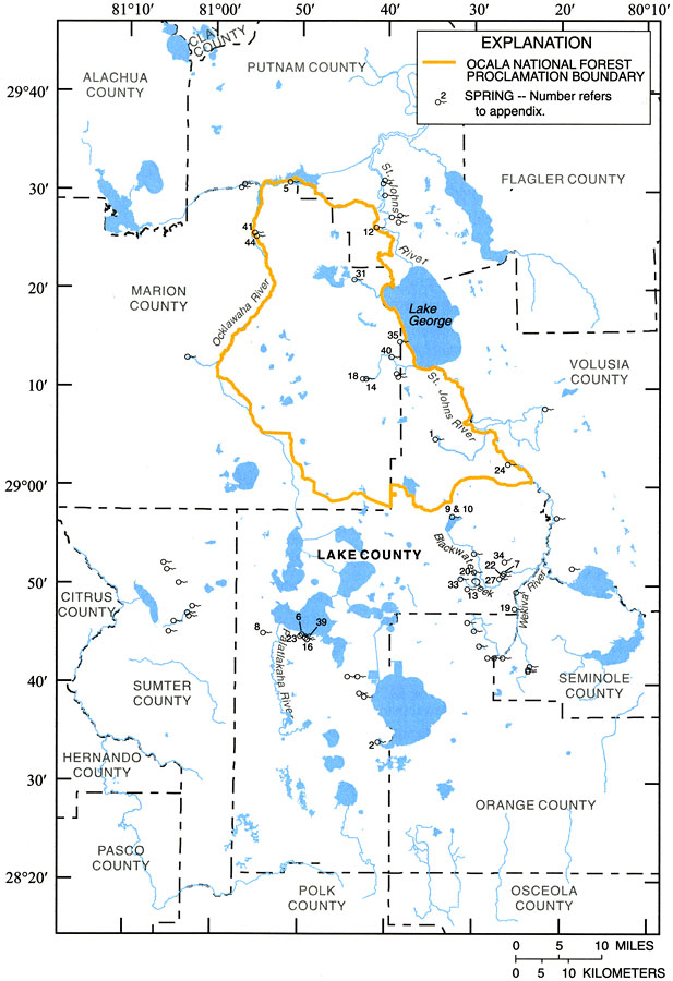
Description: This map from the U. S. Geological Survey Water Resources Investigation Report number 01-4008, Ground-Water Quality of the Surficial Aquifer System and the Upper Floridan Aquifer, Ocala National Forest and Lake County, 1990-99, shows the location of major springs in the region.
Source: J. C. Adamski and L. Knowles, Jr., USGS Water Resources Investigations Report 01-4008 (Tallahassee, FL: U. S. Geological Survey, 2001) 11
Map Credit: Courtesy the University of South Florida Library
SearchLicensePDF HelpGIS Help Google Earth Help Zoomify Help

 FL Maps > Region > 1950-1999 > Springs in the Ocala National Forest and Lake County, 1990 to 1999