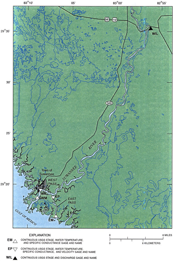
Description: This map from the U. S. Geological Survey Water Resources Investigation Report number 99-4268 shows the lower reach of the Suwannee River and Suwannee River Estuary. The map also shows the town of Suwannee, inland water systems, major roads, and the bird's-foot delta discharge of the Suwannee River into the Gulf of Mexico via the East Pass and West Pass.
Place Names: 2000-, Gilchrist County, Dixie County, Levy County, counties, Suwannee, East Pass, Gulf of Mexico, West Pass, Dixie County, Levy County
ISO Topic Categories: geoscientificInformation, inlandWaters, oceans, transportation
Keywords: Lower Reach of the Suwannee River , physical, hydrological, transportation, khydrological, physical features, roads, drainage basins, geoscientificInformation, inlandWaters, oceans, transportation, Unknown,2000
Source: Gina M. Tillis, USGS Water Resources Investigations Report 99-4268 (Tallahassee, FL: U. S. Geological Survey, 2000) 4
Map Credit: Courtesy the University of South Florida Library |
|
