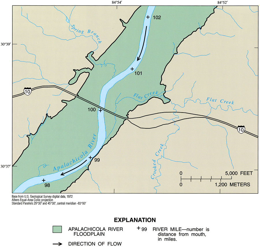
Description: This map from the U. S. Geological Survey Professional Paper number 1594, Aquatic Habitats in Relation to River Flow in the Apalachicola River Floodplain, shows the Apalachicola River floodplain of the Flat Creek intensive study area, in the vicinity of Interstate 10 between Gadsden and Jackson Counties. This section of the river is in its upper reach, and is typified by narrow meanders and relatively narrow floodplain. River-mile markers are shown as distance from the river discharge into the Apalachicola Bay on the Gulf of Mexico. Smaller, contributing streams are shown, including Spring Branch, Flat Creek, and Crooked Creek.
Source: H. M. Light, M. R. Darst, and J. W. Grubbs, USGS Professional Paper 1594 (Tallahassee, FL: U. S. Geological Survey, 1998) 23
Map Credit: Courtesy the University of South Florida Library |
|