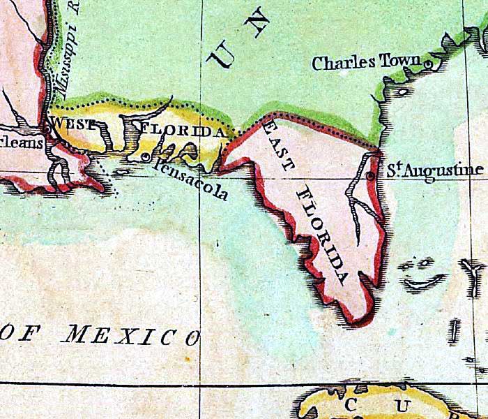
Description: A detail from the 1802 map of territorial possessions of North America by J. Luffman from his Geographical Principles. The detail shows West and East Florida, St. Augustine, and Pensacola.
Place Names: 1800-1819, West Florida, East Florida, Saint Augustine, Pensacola
ISO Topic Categories: boundaries, inlandWaters, oceans, society
Keywords: Detail - A map of North America, physical, political, historical, physical features, major political subdivisions, boundaries, inlandWaters, oceans, society, Unknown,1803
Source: J. Luffman, Geographical Principles (London, : J. Luffman, 1803)
Map Credit: Courtesy of the Geography and Map Division of the Library of Congress |
|