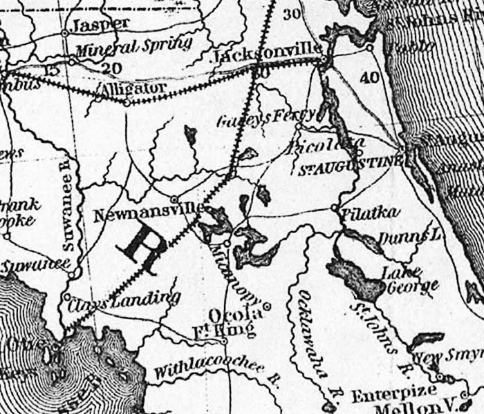
Description: This detail of the northern Florida peninsula is from the 1861 map "Thayer's statistical and military map of the middle and southern states." It shows trails, roads, and railroad routes, major towns, rivers, and coastline. The railroad from Fernandina to Cedar Keys is shown, as well as the railroad from Jacksonville west.
Place Names: 1860-1879, Jacksonville, Saint Augustine, Pilatka, Newnansville, Ocola, Ft. King, Alligator, Jasper, Suwannee River
ISO Topic Categories: boundaries, inlandWaters, oceans, society, transportation
Keywords: Detail - Thayer's statistical and military map of the middle and southern states, physical, transportation, historical, physical features, roads, railroads, Civil War, boundaries, inlandWaters, oceans, society, transportation, Unknown,1861
Source: Horace Thayer, (New York, NY: H. Thayer, 1861)
Map Credit: Courtesy of the Geography and Map Division of the Library of Congress |
|